Home / Platform
Product brochure 2026 · For security forces
Drones already observe. DroneAI adds onboard Edge AI, 5G and a Common Operating Picture so recognising, deciding and acting run in seconds, not minutes.
Today: operators watch feeds for hours and miss small targets.
With DroneAI: Edge AI detects persons, vehicles and drones, day and night.
Today: what the drone sees stays on the pilot's screen.
With DroneAI: every detection reaches the C2 map as a geo-tagged alert in seconds.
Today: DRI by eye; footage re-checked after landing.
With DroneAI: automated DRI, with targets ranked by priority.
Today: response cued late, by radio.
With DroneAI: task the nearest drone from the detection; grid shared with the response team.
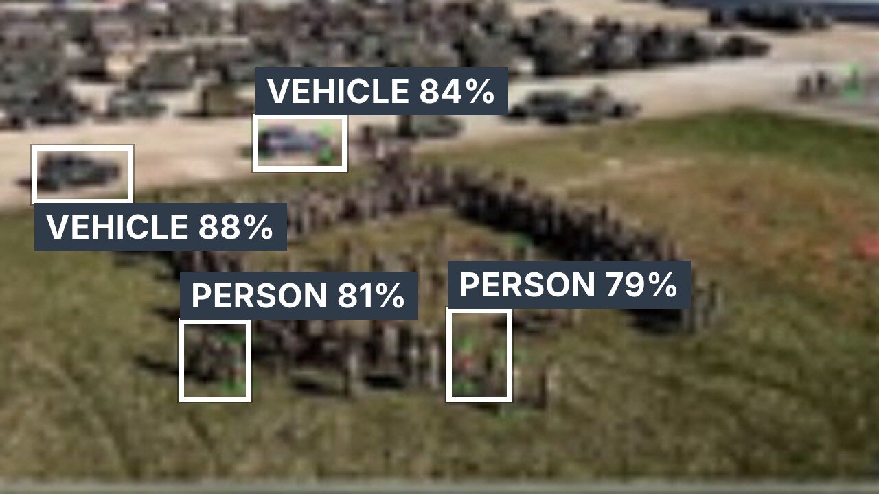
Detection, recognition and identification run on the drone, on EO and thermal video. Each result reaches the control room as a record — class, confidence, time, location — that can be mapped, searched and reported.
| Critical infrastructure · CISF | Perimeter intrusion alerts at airports, ports, refineries and power plants, with location on the control-room COP. |
| Border and creeks · BSF | People at the fence and boats in creeks and riverine borders, detected at night; animals filtered out. |
| Unit perimeter · Army | Counter-infiltration along tree lines and approaches; every sortie saved and searchable. |
Why DroneAI
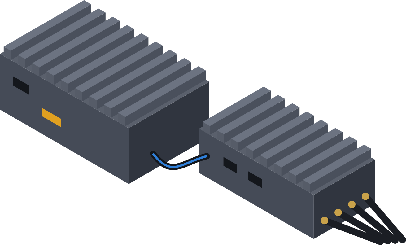
The kit mounts beside the autopilot on one cable. Nothing is removed and nothing is retrained: the pilot keeps the radio, and the commander gets AI alerts and live video over 5G.
How we start
Start small on your own drones, prove it in your sector, then roll it out.
We fly a DroneAI-equipped drone over 5G with live video, AI detections and C2 on screen.
The kit goes on drones you already operate — telemetry, Ethernet, 5 V power and a SIM.
DroneAI Studio adds the classes your sector needs, from your own footage, on your servers.
Pilot, commander and headquarters on one C2 picture, with replay and reports for every sortie.
Proven in the field
Edge AI detection of persons and vehicles with geo-tagged alerts to the command post; every sortie saved and searchable.
Drones and dumper trucks on one private 5G network and one dashboard — aerial video, LiDAR and truck telemetry together.
Live 5G flights and AI demos for forces, telecom operators and industry. See the events
Questions buyers ask
No. The kit mounts beside the autopilot on one cable: telemetry to the flight controller, Ethernet to the camera and RC air unit, 5 V power and a SIM. Nothing is removed and nothing is retrained, and the pilot keeps the existing RC link.
The link falls back to 4G automatically; Telem5G Duo adds a second modem on a second operator; the 2.4 GHz RC radio stays as an independent backup; and a pre-set failsafe decides whether to continue, loiter and return, or return home. Edge AI keeps detecting on board and sends results when the link returns.
To DroneAI C2 on our cloud or on your own servers — your choice. Traffic is encrypted and drones only make outbound connections. With DroneAI Studio, footage, labels and models stay on your network.
The 5G modem is non-Chinese and NDAA-compliant.
Any MAVLink drone (ArduPilot or PX4) and RTSP cameras. For closed commercial drones, EdgeAI 5G Lite or EdgeAI 5G runs at the ground station.
With a 5G flight demo, then a field trial on your own drones. Use the contact page or call +91 98866 91115.
Tell us about your platform and mission — we'll show you the fastest path from prototype to deployment.