
Use cases · Police · District administration · Emergency services
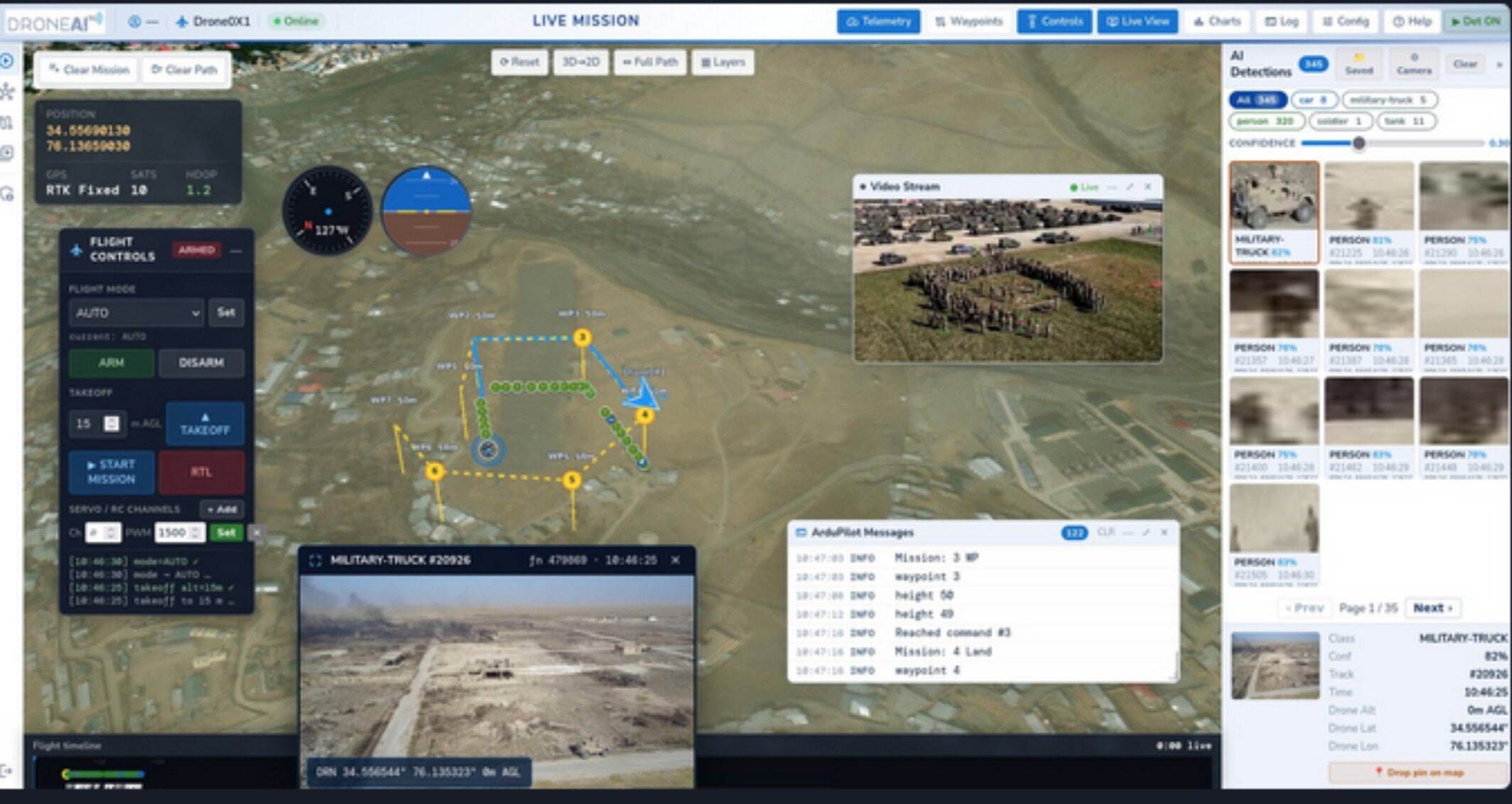
DroneAI turns raw drone video into structured, real-time alerts — so the command centre moves from "what am I seeing?" to what is happening, where, how serious, and what to do next. One drone fleet, one AI layer, many departments.
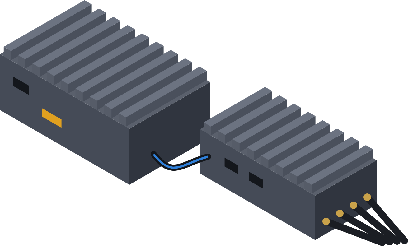
AI on the drone · EO and thermal
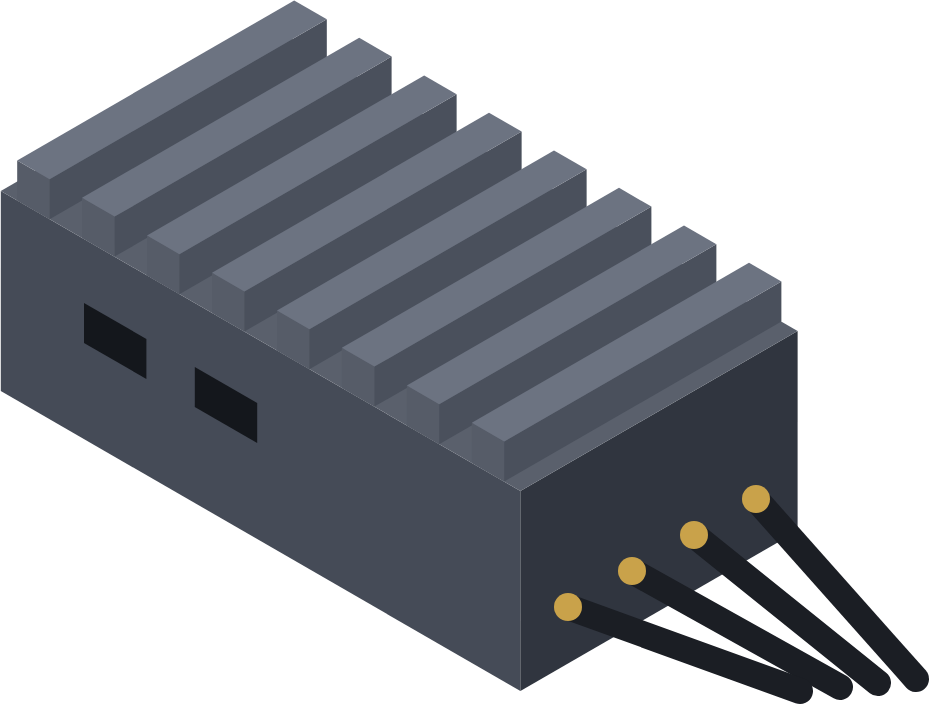
Secure 5G/4G link · live video
How it works
Detection runs on the drone; alerts reach the command centre in seconds with class, confidence, time and location. Final decisions stay with authorised personnel.
12 use cases on one platform
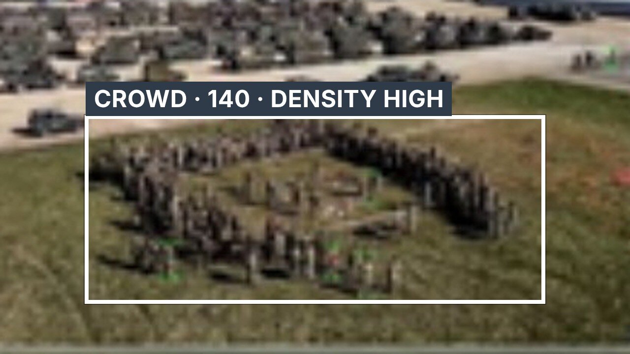
Crowd density, people count and heatmaps; build-up, bottlenecks and abnormal movement flagged early.
Pedestrian flow, parking, emergency access and restricted areas — pre-event scan to ground coordination.
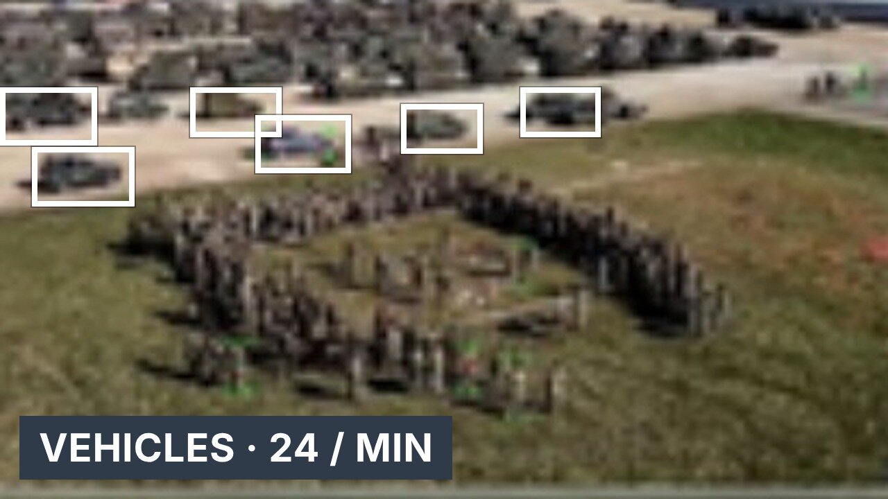
Vehicle detection, counting and classification; congestion, queues, lane occupancy and stalled vehicles on highway corridors.
Detect, assess, respond, restore: location, vehicles involved, road blockage and traffic impact from the air.
Accessible and blocked roads, emergency corridors and approach routes for police, ambulance and fire.
Rapid aerial verification after an alert, night-time thermal support and monitoring of vulnerable locations.
Open ground, vegetation, water bodies and night searches, thermal-assisted, with the search area segmented and prioritised.
Beach and water-edge monitoring, person-in-water search support, flood and inundation assessment.
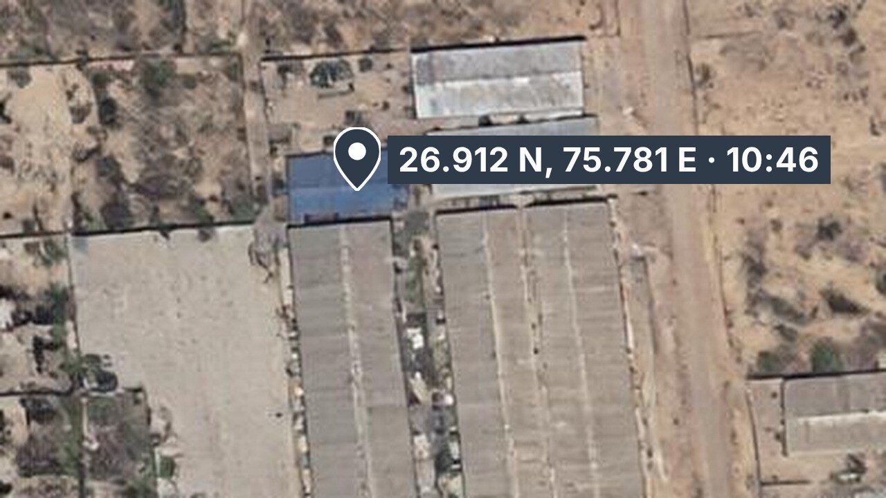
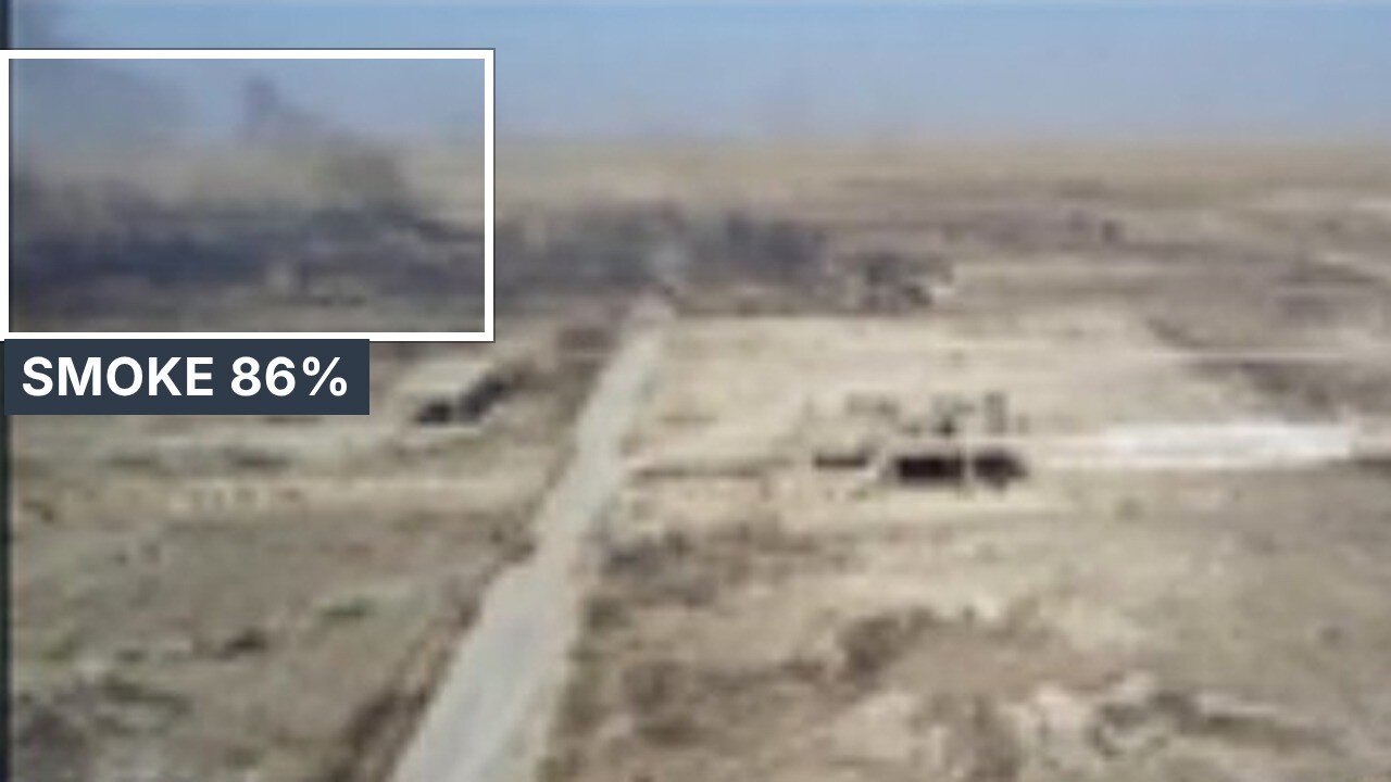
Thermal hotspots, fire and smoke, fire-spread assessment; tank, roof, pipeline and structure inspection.
Perimeter surveillance, corridor and pipeline patrols, restricted areas and before/after comparison.
Land-use and encroachment monitoring, change detection, aerial mapping and road and drainage documentation.
Dumping and pollution documentation, coastal change, crop health, stress and damage assessment.
Detection models for each use case are configured per deployment and trained on local footage with DroneAI Studio.
One AI platform · many departments
| AI capability | Who uses it |
|---|---|
| Crowd intelligence | Police · Collectorate |
| Traffic intelligence | Police · Highways |
| Accident detection | Police · Emergency services |
| Search and rescue | Police · Fire and Rescue |
| Thermal analytics | Fire · Industries |
| Coastal monitoring | Police · Disaster management |
| Water-body monitoring | District administration |
| Disaster assessment | Collectorate · Disaster management |
| Encroachment monitoring | Revenue · Local bodies |
| Infrastructure inspection | Highways · Local bodies |
| Environmental monitoring | Environment · Local bodies |
| Agricultural analytics | Agriculture department |
From detection to response
Search operations
Thermal-assisted search across open ground, vegetation and water bodies, day and night.
Tourist and event zones
Earlier intervention at crowd and traffic hotspots, safer emergency access, less pressure on ground teams.
Built to scale across a district
Multiple UAVs from different locations on one common link and one command centre.
Encrypted, outbound-only links over public or private 5G, with 4G and RC fallback.
C2 and AI training on DroneAI cloud or on government servers.
Start with one site, validate the use cases, then replicate district by district.
Who we work with
See the incident before the patrol arrives.
One aerial picture for every department.
Find people and hotspots, day or night.
Clear the corridor and restore the flow faster.
Inspect, document and compare — without the climb.